Why Rivers Often Become Routes Through a Region
Why rivers become routes: learn how valley shape, terraces and tributary shelves influence road and rail alignments, even where boats cannot pass.
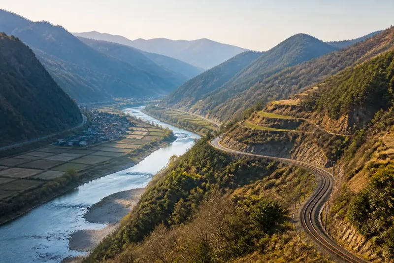
Valley shape, more than the river’s exact course, often explains why a road or railway threads through eastern hills. A broad, gently sloping valley can offer a land route between ridges, while a narrow gorge may force the route onto a terrace or up a side valley.
Valley shape guides the land route
On a topographic map, contour lines show whether a river corridor is open or pinched. Widely spaced contours often mark gentler slopes and room for a valley floor; tightly packed lines signal steep ground that can restrict an alignment.
The route need not sit beside the water. Roads can cross a floodplain, follow a terrace above it or climb a slope to avoid a constricted bend. Railways, which favour steady gradients, may take a longer curve through a side valley rather than follow the shortest line.
Read the contours as a cross-section in your mind: a valley is not a flat strip but a hollow with changing sides and shelves. The river marks its lowest part, while the land route seeks a workable line across the broader form.
Terraces and side valleys shape route alignment
A terrace is a relatively level bench above a river’s floodplain. It may provide a steadier route than low ground, though the bench can narrow or disappear where a steep slope or tributary cuts across it.
Tributary valleys can offer gradual approaches to higher ground, but their mouths may be steep or wet. At a confluence, a route might continue along the main valley, turn up the tributary or cross from one corridor to another. The map’s contour pattern helps distinguish those choices.
Imagine a map showing a narrow river bend with contours packed against its northern bank and a broad tributary shelf to the south. If a road line leaves the river, crosses that shelf and rejoins the valley downstream, the visible alignment suggests that the shelf offers a more continuous passage than the pinched bank. It does not, by itself, reveal the route’s history or construction decisions.
Why does a road leave the river?
A road may leave the river to avoid steep banks, flood-prone ground or a bend with little room for construction. It can also head towards a settlement or a crossing rather than mirror the channel. Look for the route’s return to the valley and for a terrace or side-valley shelf that could accommodate the detour.
Can a river guide a route if boats cannot use it?
Yes. A river can mark a low corridor through hills even where its current, rocks or shallow reaches prevent boat travel. In that case, the valley’s landform—not navigability—helps explain the road or railway alignment.
How can a map show a valley route?
Look for a route running broadly within a low corridor, with contour lines rising on either side. Then note where the route bends away from the river, climbs onto a terrace or follows a tributary valley; those shifts show how it responds to the shape of the land.
What should you record when reading a valley map?
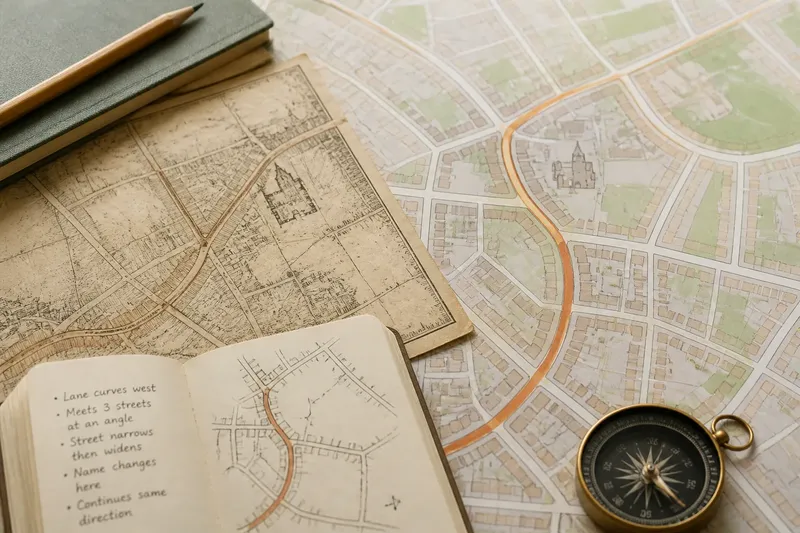
Separate what the map shows from what you infer. For each observation, decide whether the route follows the main valley, uses a terrace, turns into a tributary valley or crosses a constriction; if the contour evidence is unclear, record the alignment without assigning a cause.
- Observe whether contours widen around the valley floor; if they do, consider an open corridor, but if they tighten, look for a terrace or side valley instead.
- Observe whether a route stays on low ground; if it does, describe it as following the valley, but if it rises, check for a bench or slope route.
- Observe whether a terrace remains continuous beside the river; if it does, consider it as a possible alignment, but if it breaks, look for a different shelf or valley.
- Observe where a tributary meets the main river; if the route turns upstream, describe a side-valley alignment, but if it crosses the tributary, note the crossing separately.
- Observe whether the route departs from the river at a tight bend; if a wider shelf lies nearby, consider that landform as a possible explanation, but if none is visible, leave the reason open.
- Observe whether the route climbs between two valleys; if contour spacing allows a gradual rise, describe a connecting slope, but if the map is too coarse to judge, avoid claiming a particular gradient.
A clear note might say, “the road follows the broad valley, then uses a bench above the river where the contours crowd the bend”. That wording keeps the focus on why rivers become routes through a region: the valley supplies opportunities, and the route’s departures reveal where its landform changes.
Map scale matters when interpreting those details. A small-scale regional map may simplify terraces and minor bends, so use a more detailed topographic map before treating a subtle shelf or slope as decisive evidence.