Pass, Ferry or Bridge: Three Ways Across a Barrier
Compare a mountain pass, ferry and bridge to see which crossing suits the barrier, how it joins routes, and what still shapes access beyond it.
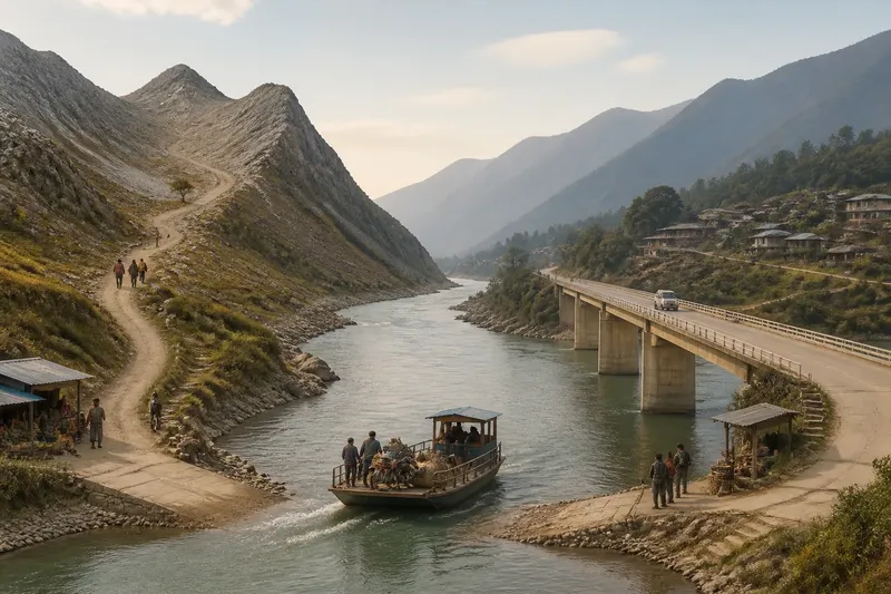
A pass, ferry or bridge changes how a particular route crosses a particular obstacle; it does not make the surrounding landscape equally accessible. To compare these crossings, start with the barrier itself, then consider the journey each option creates on both sides.
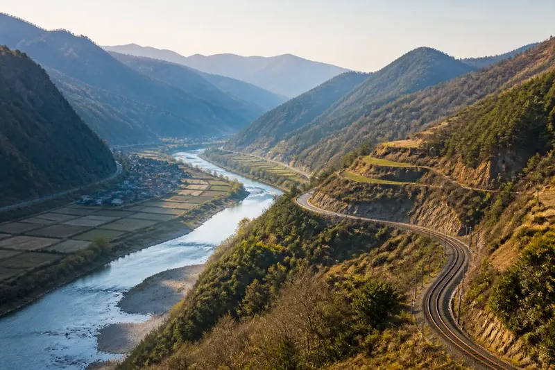
In the eastern Himalaya, for instance, a high ridge, a river channel and a deep gorge call for different kinds of connection. A pass uses a gap in the land, a ferry links two landing places by boat, and a bridge carries a route across a fixed span. Their shapes determine where journeys meet, and where they must still turn elsewhere.
A pass carries a route through a ridge
A mountain pass is a low saddle or usable gap between higher slopes. It offers a route from one valley to another without requiring travellers to cross the ridge at a higher point.
The gap is only part of the route. The approaches may climb steeply, pass through a narrow ravine or follow exposed slopes, so the journey on either side can feel quite different. A route may cross the saddle yet leave nearby settlements oriented towards their own valley roads.
A pass suits a journey whose main obstacle is high ground and where a continuous corridor leads through a natural gap. A low point on a map is not enough: the land and routes leading to it need to make the passage usable.
A ferry links specific shores by boat
A ferry carries passengers or vehicles across a river, channel or inlet between designated landing places. It suits water that a vessel can cross, particularly when the journey needs a connection between specific shores rather than a continuous road over the water.
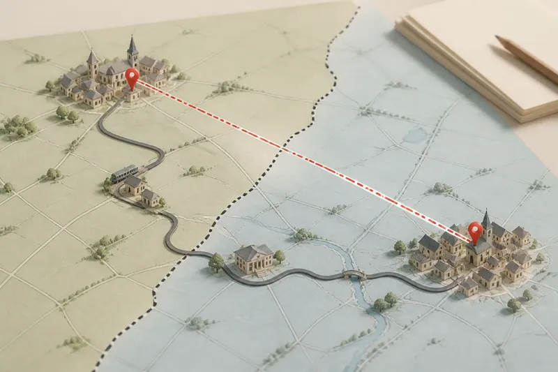
Each landing needs an approach, and roads on both banks need to meet the service. A ferry line on a map can therefore show a connection between two points without indicating how easily inland settlements can reach either one.
The crossing also depends on the vessel and its operating arrangements, as well as conditions on the water. A sheltered inlet and a fast river channel present different circumstances; local service information matters before relying on either for a journey.
A bridge keeps the route continuous
A bridge carries a road, railway or footpath across an obstacle without requiring a change to a vessel or a climb to a mountain saddle. It suits a route that needs a connected surface across a river, gorge or other gap.
The span links its ends, but the approaches determine which places can reach it conveniently. A bridge across a gorge may join two valley roads while doing little for settlements on the slopes above. Its location can favour through-traffic rather than every nearby community.
A bridge needs suitable ground at both ends and must fit the obstacle and its surroundings. Where the route cannot reach those ends conveniently, or where local conditions make a fixed span unsuitable, another crossing may fit the journey better.
Use the obstacle and the journey to compare crossings
These observations help distinguish the options without treating a crossing as a shortcut for an entire region. For each one, check what the route meets and decide whether the crossing fits; if not, consider the alternative shown.
- Observation: The route meets a high ridge, and a low saddle has approaches on both sides. If the approaches form a usable corridor, then consider a pass; if steep or broken ground interrupts them, then compare a route around the ridge instead.
- Observation: Water separates two shore points, and a boat can cross between them. If the journey can use designated landings, then consider a ferry; if it needs uninterrupted road movement, then consider whether a bridge is feasible.
- Observation: A proposed span has reachable ground and useful routes at both ends. If it connects the journey’s intended approaches, then consider a bridge; if its ends are isolated from those routes, then look for a better crossing point or another mode.
- Observation: A settlement appears close to a crossing on the map, but no direct approach route is shown. If a connected road reaches it, then assess that route to the crossing; if not, then treat the crossing as serving other places and examine a different connection.
- Observation: Seasonal snow, changing water or exposed approaches affect the route. If local notices indicate the crossing is operating for the intended journey, then use that information in the comparison; if conditions restrict it, then consider an alternative route and check current local guidance.
- Observation: A ferry landing or bridge end sits beyond a steep or indirect approach. If the approach still serves the intended destination, then keep it in consideration; if it does not, then compare a crossing with more suitable approaches.
Imagine a made-up pair of market settlements on opposite banks of a broad river. The starting point is a road reaching a sheltered landing on each side, with a boat able to cross between them. If the intended journey can use those landings, a ferry connects the settlements; if the journey requires an unbroken road, compare a feasible bridge instead. The resulting decision depends on the mode of travel, and a separate hamlet without an approach to either landing remains outside that connection.
What does a map reveal about each crossing?
How can you recognise a useful mountain pass?
Look for a route crossing a low saddle between higher ground, then follow it down both sides. If the approaches do not form a traversable corridor, the low point alone does not establish a useful pass.
What does a ferry symbol leave unclear?
It marks a water crossing, but may not show how convenient either landing is for inland places. Check the routes to the landings and the service information for the intended journey.
Does a bridge connect every nearby settlement?
No. A bridge joins its ends, while the routes leading to those ends determine which settlements it serves. A place can sit near a span on the map yet lack a convenient route to it.
Which crossing suits changing conditions?
There is no single answer: snow and exposure can affect a pass, water and service conditions can affect a ferry, and local conditions can affect a bridge and its approaches. Check current local notices before relying on a crossing.
Each crossing leaves other routes in place
A pass selects a gap in a ridge, a ferry selects two shores, and a bridge selects two ends for a continuous route. None erases the surrounding terrain or redirects every nearby journey.
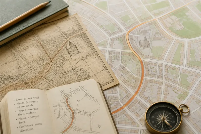
Think of a crossing as a doorway in a long wall: it gives a route through at one point, not along the whole wall. For a sound comparison of a pass, ferry or bridge, identify the obstacle, the places each option joins and the routes that reach them. That keeps attention on the real connection rather than on the crossing symbol alone.